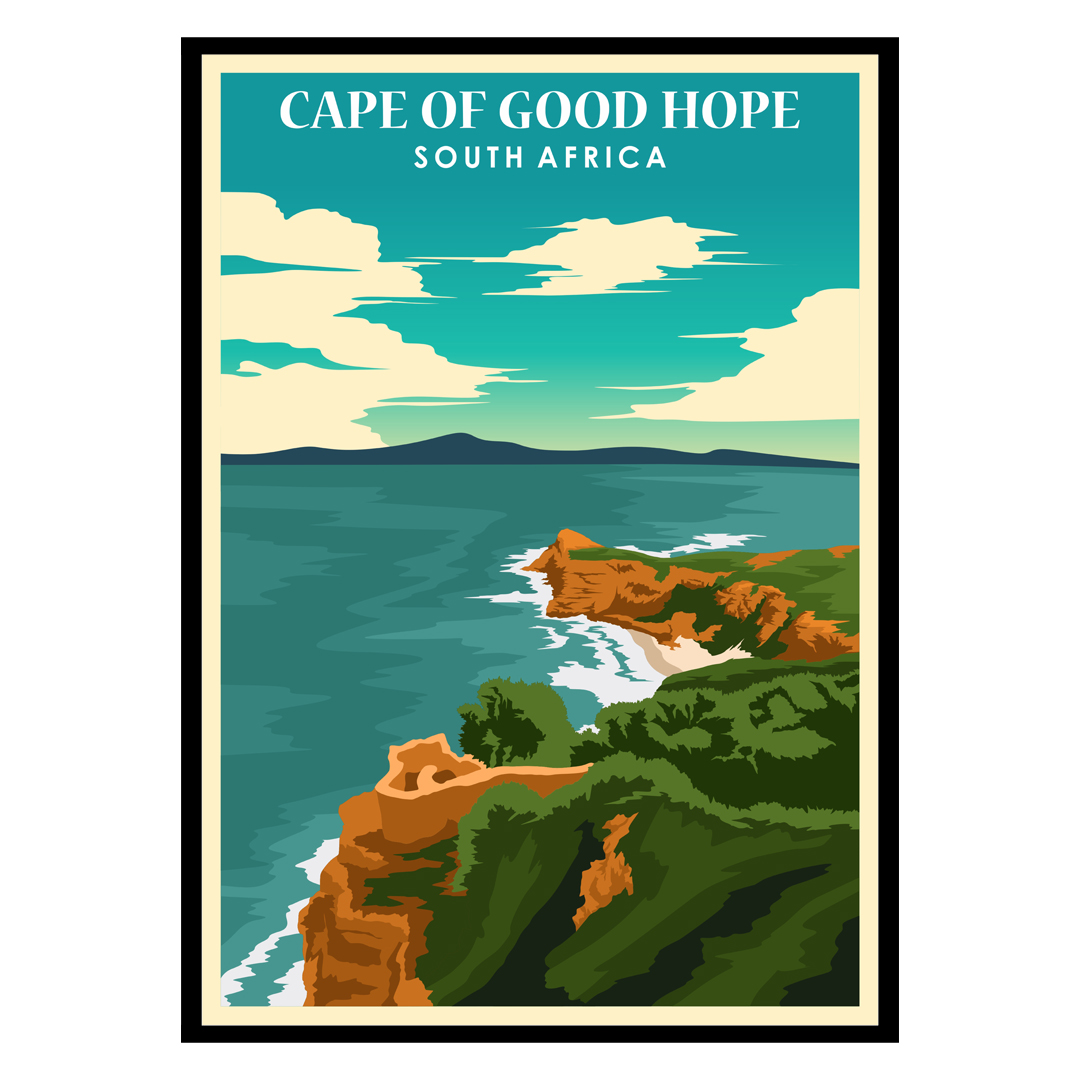
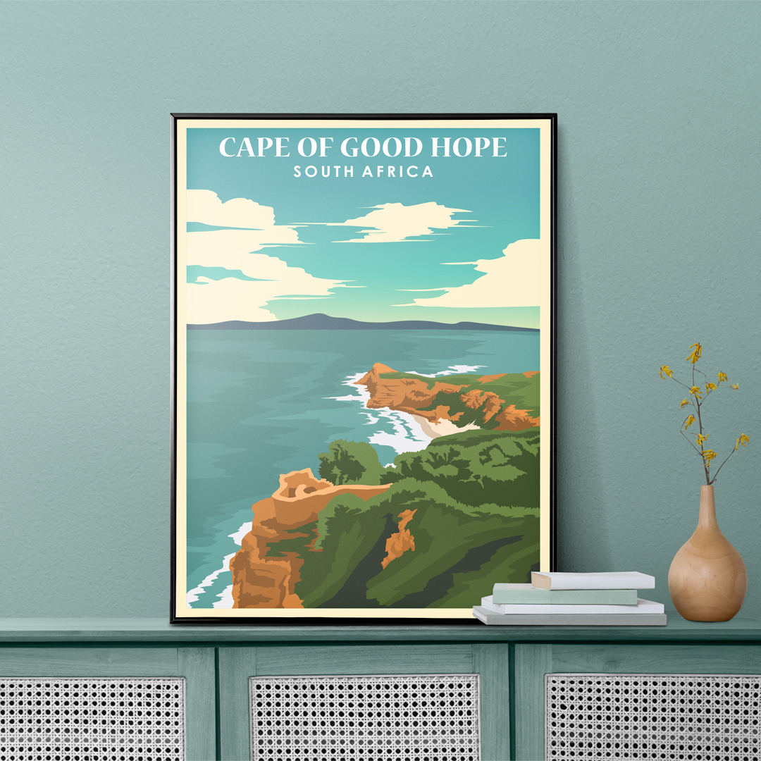
Looking for the perfect Cape of Good Hope Poster? Look no further than Poster Nature’s Vintage Posters! Our selection of Cape of Good Hope posters is second to none and we’re sure you’ll find the perfect one for your home or office. Poster Nature has a wide variety of beautiful postures of some of earth’s most colorful and vibrant delights.
Cape of Good Hope South Africa Poster
€15 – €49Price range: €15 through €49
The Cape of Good Hope (Afrikaans: Kaap die Goeie Hoop [ˌkɑːp di ˌχujə ˈɦuəp]; Dutch: Kaap de Goede Hoop [ˌkaːb də ˌɣudə ˈɦoːp] (About this soundlisten);[a] Portuguese: Cabo da Boa Esperança Portuguese pronunciation: [ˈkaβu ðɐ ˈβoɐ (ɨ)ʃpɨˈɾɐ̃sɐ]) is a rocky headland on the Atlantic coast of the Cape Peninsula in South Africa.
A common misconception is that the Cape of Good Hope is the southern tip of Africa. This misconception was based on the misbelief that the Cape was the dividing point between the Atlantic and Indian oceans. Contemporary geographic knowledge, or looking at a map instead states the southernmost point of Africa is Cape Agulhas about 150 kilometres (90 mi) to the east-southeast.[1] The currents of the two oceans meet at the point where the warm-water Agulhas current meets the cold-water Benguela current and turns back on itself. That oceanic meeting point fluctuates between Cape Agulhas and Cape Point (about 1.2 kilometres (0.75 mi) east of the Cape of Good Hope).
The Cape of Good Hope is at the southern tip of the Cape Peninsula approximately 50 km (31 mi) south of Cape Town, South Africa.
When following the western side of the African coastline from the equator, however, the Cape of Good Hope marks the point where a ship begins to travel more eastward than southward. Thus, the first modern rounding of the cape in 1488 by Portuguese explorer Bartolomeu Dias was a milestone in the attempts by the Portuguese to establish direct trade relations with the Far East (although Herodotus mentioned a claim that the Phoenicians had done so far earlier).[2] Dias called the cape Cabo das Tormentas (“Cape of Storms”; Dutch: Stormkaap), which was the original name of the “Cape of Good Hope”.
As one of the great capes of the South Atlantic Ocean, the Cape of Good Hope has long been of special significance to sailors, many of whom refer to it simply as “the Cape”. It is a waypoint on the Cape Route and the clipper route followed by clipper ships to the Far East and Australia, and still followed by several offshore yacht races.
The term Cape of Good Hope is also used in three other ways:
It is a section of the Table Mountain National Park, within which the cape of the same name, as well as Cape Point, falls. Prior to its incorporation into the national park, this section constituted the Cape Point Nature Reserve.
It was the name of the early Cape Colony established by the Dutch in 1652, on the Cape Peninsula.
Just before the Union of South Africa was formed, the term referred to the entire region that in 1910 was to become the Cape of Good Hope Province (usually shortened to the Cape Province).
Cape of Good Hope museum-quality poster made on thick and durable matte paper. Add a wonderful accent to your room and office with these posters that are sure to brighten any environment.
• Paper thickness: 0.26 mm (10.3 mil)
• Paper weight: 189 g/m² (5.57 oz/y²)
• Opacity: 94%
• ISO brightness: 104%
• Giclée printing quality
• 21 × 30 cm posters are size A4
• Blank product sourced from Japan
| Weight | N/A |
|---|


Rachel –
the poster is wonderful, but the frame is steep in price considering that it’s plastic not glass. This wasn’t obvious on purchase